1
/
of
1
Pilothouse Charts
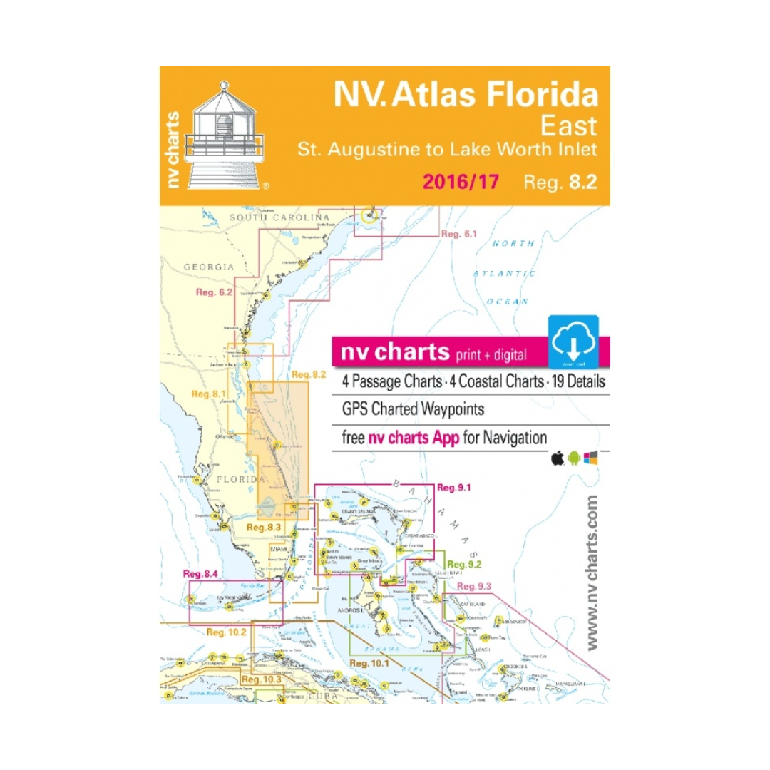
NV Charts Region 8.2 Florida East, St. Augustine to Lake Worth Inlet 2016/17
NV Charts Region 8.2 Florida East, St. Augustine to Lake Worth Inlet 2016/17
Regular Price
$43.95
Regular Price
$49.00
Sale Price
$43.95
Unit Price
/
per
Tax included.
Shipping calculated at checkout.
Couldn't load pickup availability
- Digital charts download
- Coastal Charts
- Passage Charts
- Details
- GPS Charted Waypoints & Approaches
Practical to use and accurate in the information and data published.
- this Chart Kit is based on NOAA data with a new layout, clear cartography and international chart standards
- depths and heights are charted in feet
- north up chart orientation
- channel markers in red and green
- unique color differences, blue for the 6 ft and 18 ft depths, and green for exposed tidal areas
- contour lines for 12 ft and 30ft depths
- under water reefs are clearly marked with a light green color and the reef above water in darker green
- variable shoals marked in grey-blue
- lighthouses illustrate their light characteristics for better identification
- seaworthy chart layout - perfect chart flow from one chart to the next
- standardized chart scales - passage charts 1:340,000 – coastal charts 1:45,000 and detail charts 1:25,000 or less
- waypoints with latitudes and longitudes for GPS input
- recommended courses with distances
- arrow-symbols show buoyage direction
- tide information on each chart

Have a question about a product or destination?
Call on us for 40 years experience in charts, navigation, and maritime history.
Call +1-267-773-7858 or Email sales@pilothousecharts.com