Skip to product information
1 of 1

ISS

Waterproof Charts Delaware Bay 48

Waterproof Charts Delaware Bay 48

Regular Price $28.95
Regular Price Sale Price $28.95
Sale Sold Out
Tax included. Shipping calculated at checkout.

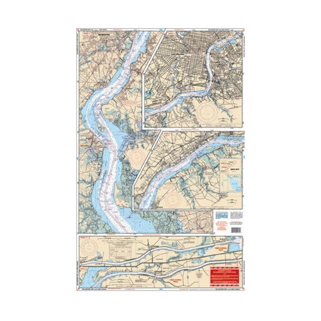
Delaware Bay and C&D Canal Covers the entire area from Northern Chesapeake Bay through the Chesapeake and Delaware Canal north to Philadelphia and Camden and south through Delaware Bay to Cape May and Cape Henlopen. Detail for Cape May Harbor. Covers Wilmington and Salem. information from 5 different NOAA Charts; 12304, 12317,12277, 12312, 12311. GPS Datum.
Waterproof, 25" x 38", printed both sides

View full details

Have a question about a product or destination?

Call on us for 40 years experience in charts, navigation, and maritime history.

Call +1-267-773-7858 or Email sales@pilothousecharts.com