
COE
Ouachita and Black Rivers Charts Corps of Engineers 2006
Ouachita and Black Rivers Charts Corps of Engineers 2006
Couldn't load pickup availability
2006 Navigation Charts, Ouachita and Black Rivers, Camden, Arkansas to Red River, Louisiana, Mile 332 to Mile 0 P.P.R.M. A bound set of charts in color, size 11” X 17”, (scale 1”=15,000 feet), current issue 2006.
Shows sailing line, locations of navigation aids, bridges, navigation structures, commercial facilities, pipeline and aerial crossings, public access areas and facilities, river miles, and river gages. The set also includes waterway facts, gage information, navigation regulations, locking regulations, recreation area regulations, aids to navigation information, aerial photos, and a mileage chart.
Rather than deal with multiple Army Corps of Engineers District Offices, let Pilothouse be your one-stop shop. We can supply any ACOE chart book, including those ACOE has allowed to go out-of-print, which we obtain in Print-on-demand.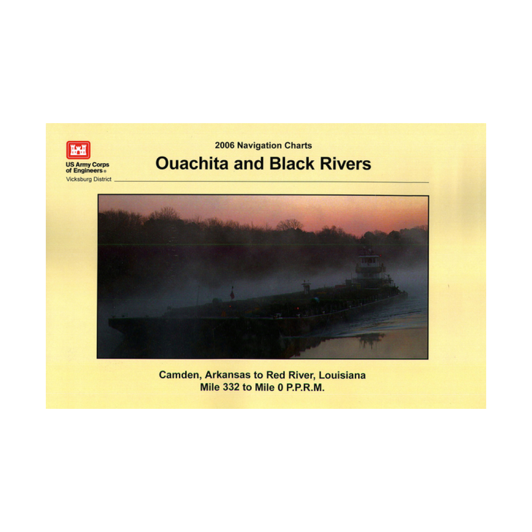
Have a question about a product or destination?
Call on us for 40 years experience in charts, navigation, and maritime history.
Call +1-267-773-7858 or Email sales@pilothousecharts.com