
COE
Ohio River - New Martinsville to Pittsburgh - Corps of Engineers 2003
Ohio River - New Martinsville to Pittsburgh - Corps of Engineers 2003
Couldn't load pickup availability
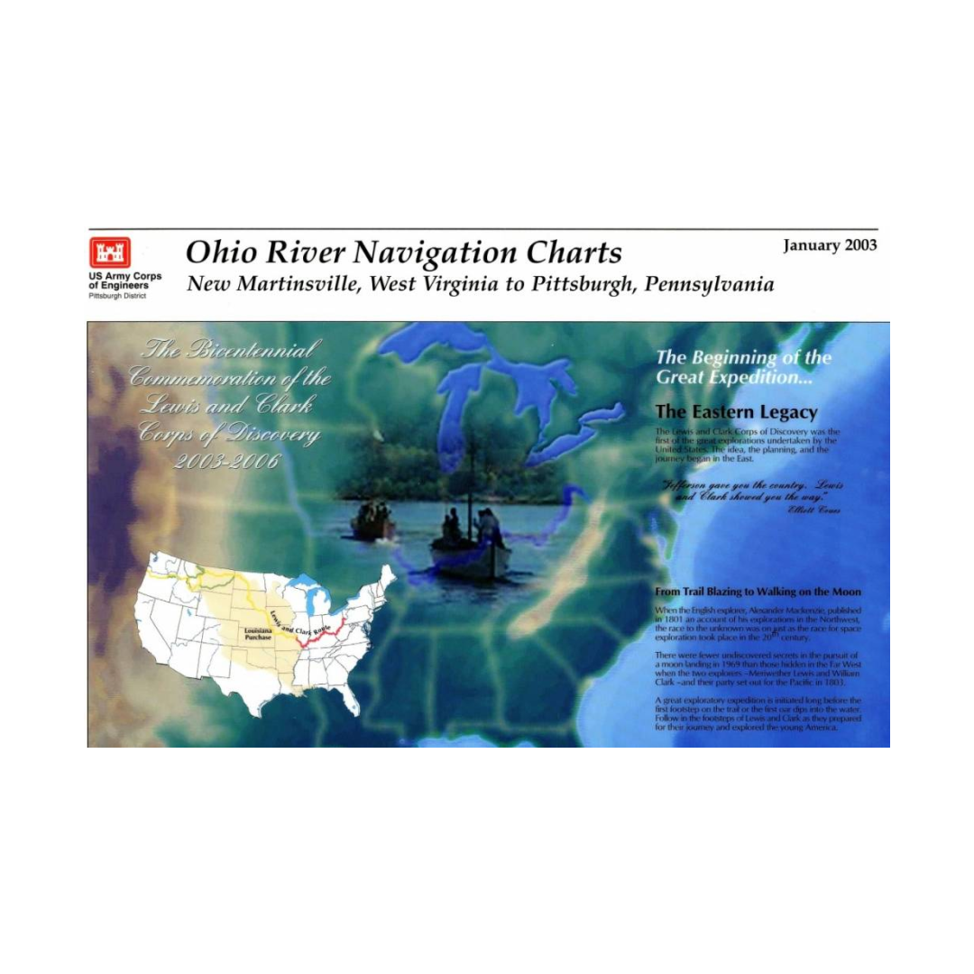
Ohio River Navigation Charts: New Martinsville, West Virginia to Pittsburgh, Pennsylvania, The Bicentennial Commemoration of the Lewis and Clark Corps of Discovery, 2003-2006.
This paper navigational chart book covers the Ohio River from New Martinsville, West Virginia to Pittsburgh, Pennsylvania. This chart book edition commemorates the Bicentennial of the Lewis and Clark Corps of Discovery, 2003-2006. It was published in 2003, is 116 pages in length, and is 9” x 15” in size.
U.S. Army Corps of Engineers paper navigational chart books are published to benefit both the professional and recreational maritime community. These chart books are spiral bound with sturdy covers and are designed for heavy service on any bridge. Mariners will find not only navigational charts within the pages of this chart book, but critical navigational safety information such as information pertaining to buoys, vertical clearances under bridges, warning to pleasure boaters and fisherman to include restricted and danger area boundaries; locks and dams; signals, lockage of tows; moorings and more. Well defined chart legends, and multiple indices make this chart book more than a simple navigational tool.
The U.S Coast Guard requires that commercial vessels operating in the waters represented within the pages of this chart book maintain on-board "navigation charts or maps appropriate to the area of operation..." (46 CFR Subchapter M). This chart book fulfills that requirement. However, it is incumbent on mariners to manually update these products and U.S. Coast Guard Notice to Mariners for changes and notices impacting these waters.
Publication measures 9 x 15 in. On cover: The Beginnings of the Great Expedition ..., the Eastern Legacy, From Trail Blazing to Walking on the Moon. Lists buoys, dams, and other known navigational features along the route the Lewis and Clark Expedition took in 1803.
Have a question about a product or destination?
Call on us for 40 years experience in charts, navigation, and maritime history.
Call +1-267-773-7858 or Email sales@pilothousecharts.com