
COE
Cumberland River Chartbook - Corps of Engineers 2013
Cumberland River Chartbook - Corps of Engineers 2013
Couldn't load pickup availability
This paper navigational chart book covers the Cumberland River from Smithland, KY to Celina, TN; Mile 0 to Mile 381. It was published in 2013 and is 8.5” x 14” in size.
U.S. Army Corps of Engineers paper navigational chart books are published to benefit both the professional and recreational maritime community. These chart books are spiral bound with sturdy covers and are designed for heavy service on any bridge. Mariners will find not only navigational charts within the pages of this chart book, but critical navigational safety information such as information pertaining to buoys, vertical clearances under bridges, warning to pleasure boaters and fisherman to include restricted and danger area boundaries; locks and dams; signals, lockage of tows; moorings and more. Well defined chart legends, and multiple indices make this chart book more than a simple navigational tool.
The U.S Coast Guard requires that commercial vessels operating in the waters represented within the pages of this chart book maintain on-board "navigation charts or maps appropriate to the area of operation..." (46 CFR Subchapter M). This chart book fulfills that requirement. However, it is incumbent on mariners to manually update these products and U.S. Coast Guard Notice to Mariners for changes and notices impacting these waters.
Rather than deal with multiple Army Corps of Engineers District Offices, let Pilothouse be your one-stop shop. We can supply any ACOE chart book, including those ACOE has allowed to go out-of-print, which we obtain in Print-on-demand.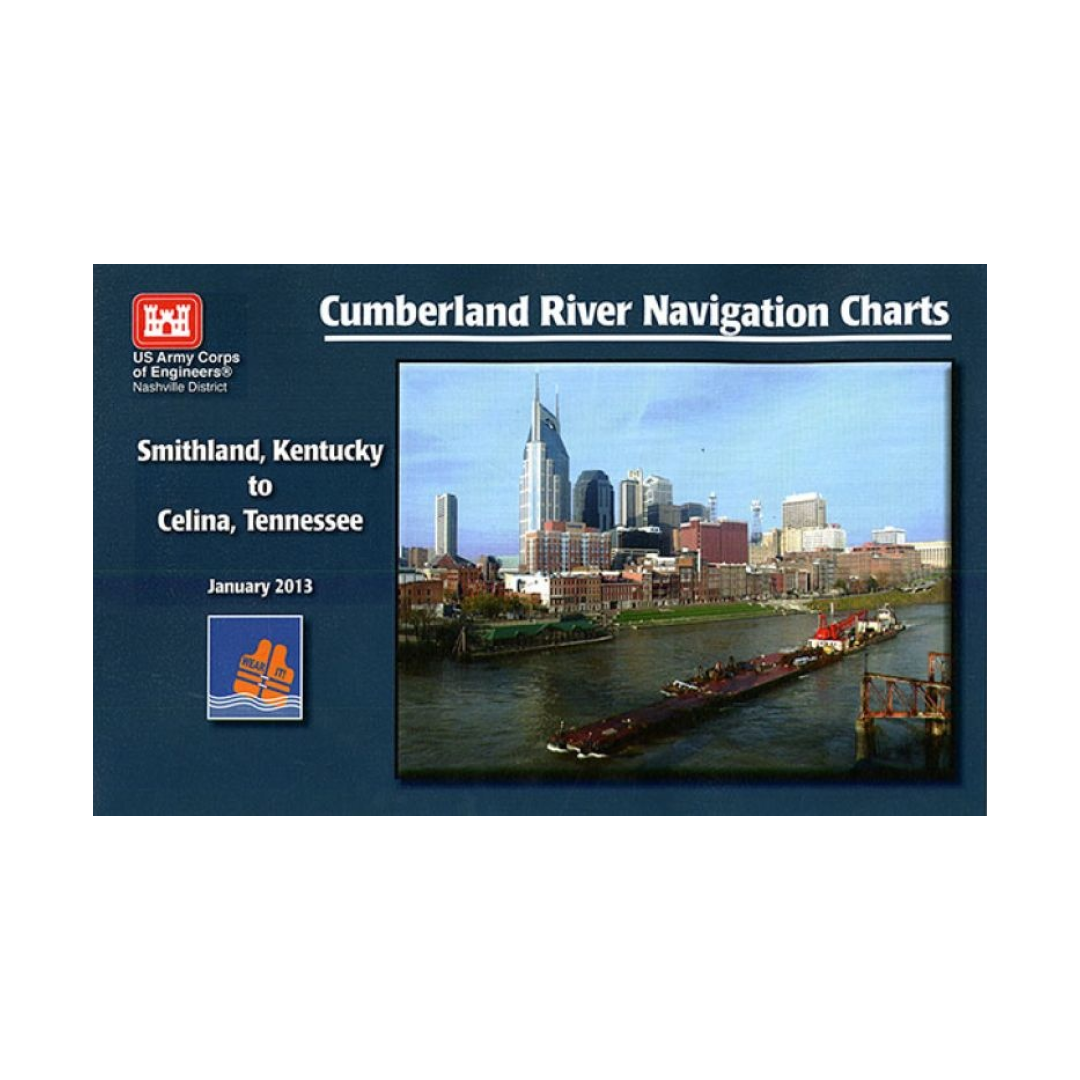
Have a question about a product or destination?
Call on us for 40 years experience in charts, navigation, and maritime history.
Call +1-267-773-7858 or Email sales@pilothousecharts.com