
COE
Ohio River - Foster to New Martinsville 2014
Ohio River - Foster to New Martinsville 2014
Couldn't load pickup availability
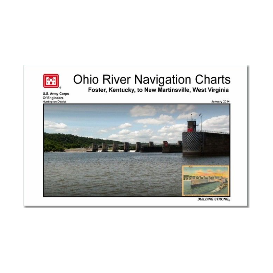
Ohio River Navigation Charts are 8 x 14 scaled color maps that in indicate important navigation features of special interest. Features shown on the charts include channel sailing line, U.S. navigation lights, daymarks, arrival point marks for locks, normal pool elevations, mouth of tributary streams, location of bars, channel buoys, bridges, aerial and submarine crossings, docks, terminals, landings and navigation structures. No soundings are shown. A listing of small boat harbors, ramps, landings and commercial river terminals are included at the back of each navigation chart book.
Print on Demand.
Have a question about a product or destination?
Call on us for 40 years experience in charts, navigation, and maritime history.
Call +1-267-773-7858 or Email sales@pilothousecharts.com